|
Development
of the area between 1840 and the 1920's
Careful study of the
three maps below will show how the area significantly developed over
a period of 80 years - it was not until the 1950's that large scale
housing development took place in the Brookhouse Green, Ubberley and
Bentilee areas - and in the 1960's in the Berry Hill area.
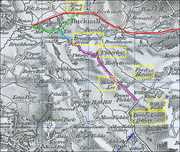
Map of the
Bentilee area c.1840
On this map Dividy
Road has not yet been built the road highlighted in purple which
crosses centre of the map is the present Ubberley Road.
|
Red road
-
|
Werrington Road. |
|
Green
road
- |
Ruxley
Road (there was a mill and colliery at the junction of Ruxley
Road and Werrington Road. |
|
Light blue road - |
Malthouse Road. |
|
Purple road - |
Ubberley Road. |
|
Blue road - |
Anchor Road. |
The origins of many modern day street
and place names can be found this map.
There are a large number of
collieries and coal pits on the map, including - Ubberley Colliery,
Dividy Lane Colliery, Moss Fields Colliery, Adderley Green Colliery,
Broadfield Colliery, Fenton Park Colliery.
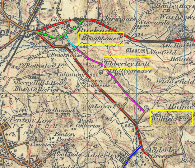
Map of the Bentilee
area c.1902
By the time of this 1902 map Dividy
Road has now been built - as marked by the brown line.
Collieries are also shown at Berry
Hill and Holly Bush and Park.
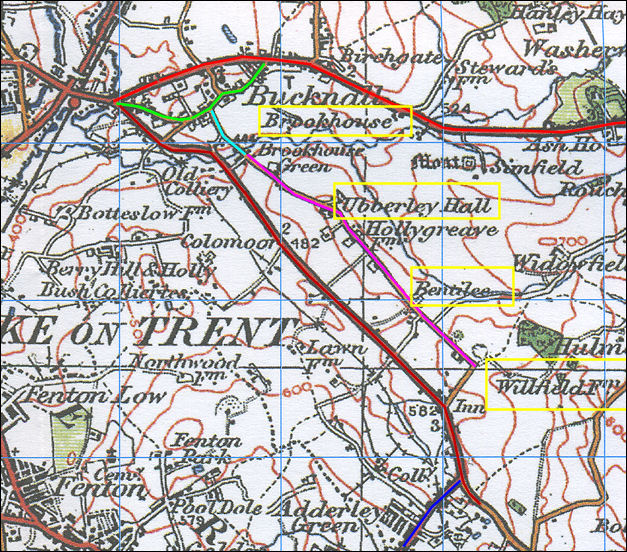
Map of the
Bentilee area c.1922
Although a more modern looking map the area has not changed
much from 1902 to 1922.

|