![]()
Longport: The 'Kingdom' of
Davenport![]()
![]() (1760's - mid 19th C))
(1760's - mid 19th C))
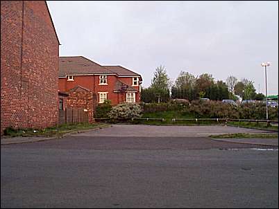
The Fowlea Brook culvert
Location 6 on
the index map
At first glance this photograph may seem unimportant and uninspiring, it was taken at the bottom of Station Road. Directly underneath where the photo was taken the Fowlea Brook runs in a culvert. This is why there is no building in the line of the brook.
Today the culvert takes the Fowlea Brook underground for quite a distance, from the top of Davenport Street in the north - not emerging until the other side of the main Porthill Road in the SOuth.
John Davenport in 1807 built 40 houses in Princes Square and Clarence Street. Ten more houses were added after 1832 - at that time this land was marginal and the houses suffered from damp - the location of the Fowlea Brook can be seen from the 1878 map of this area.
![]()
![]()
![]()
next is the Top Bridge Pottery (Price & Kensington)
questions/comments/contributions? email: Steve Birks
