Stoke-on-Trent Local
History
 |

|
| |

|
Maps of the area around Christchurch, Fenton
Related
Pages
Christchurch,
Fenton
Maps of the church and
surrounding area


contents: index page for
Christchurch, Fenton
next: gravestones
previous: Christchurch, 1839-1890
|
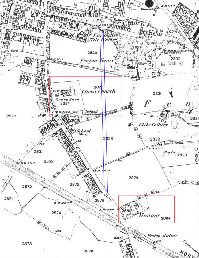
1878 OS map which shows
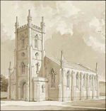
the original church which was built to the design of Henry Ward and
consecrated in 1839
-
the
road that the church was built on was named Church Street and apart
from a few houses on this road most of the area is still fields.
Station Road had not yet been built - the location of it is shown in
blue.
-
To
the right is Glebe Colliery - which was one of the sources of wealth
which helped build the church and the cause of the subsidence which
caused the first church to have to be pulled down.
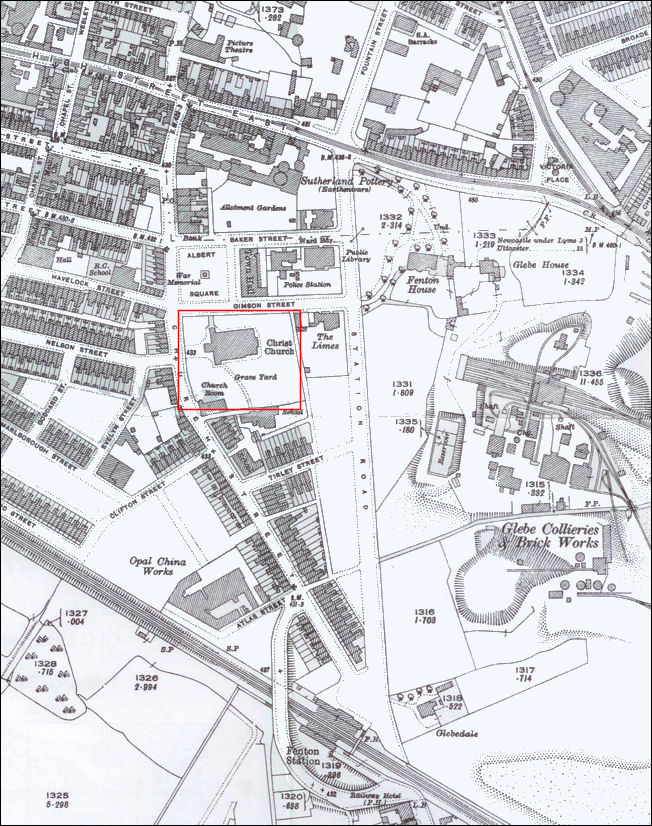
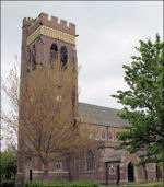
1922 OS map which shows
the replacement (current) church which was built in 1890 to the
design of Charles Lynam
-
All
the streets around the church have now been laid out, including Albert
Square and the key buildings around it - the Town Hall (1888), Library
(1906),
Police Station (1914-15) and in the centre the War Memorial.
-
Station
Road is now built.
-
Glebe
Colliery has expanded and includes more than one colliery and also a
brick works.
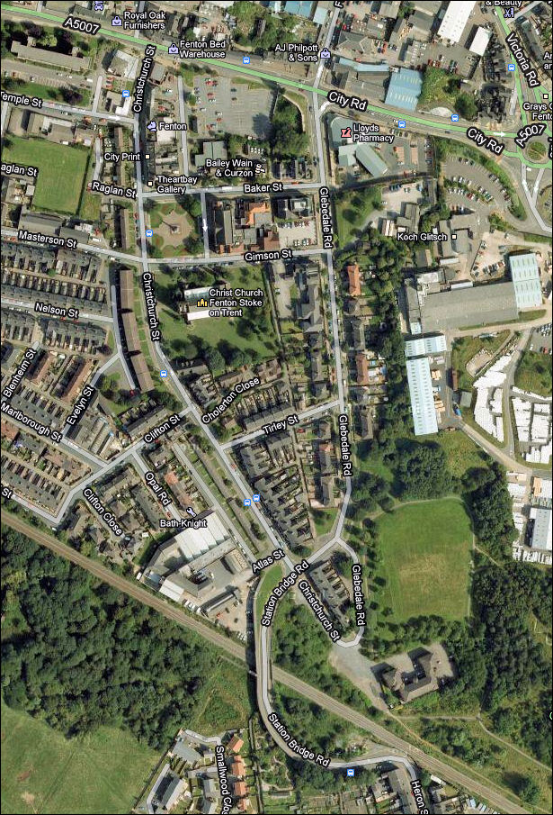
2011 Google map of the
area around the church
-
The
Glebe colliery spoil tip has been reclaimed and grassed over.
-
THe
location of Fenton House has been replaced with a health centre.
-
Some
of the key roads have been renamed:-
High
Street East is now City Road
Church Street is now Christchurch Street
Station Road is now Glebedale Road.
|
contents: index page for
Christchurch, Fenton
next: gravestones
previous: Christchurch, 1839-1890
1st Church
Fenton New Church
1839 - 1890 |
2nd Church
Christchurch
1890 - |
Gravestones |
|
|
|