|
|
|
Churches and Chapels of Stoke-on-Trent St. Matthew C of E - Etruria, Hanley |
|
|
|
|
|
Churches and Chapels of Stoke-on-Trent St. Matthew C of E - Etruria, Hanley |
|
|
| Index
of Churches and Chapels |
| Index of Hanley Churches |
![]()
back to main page on St.
Matthew's Church
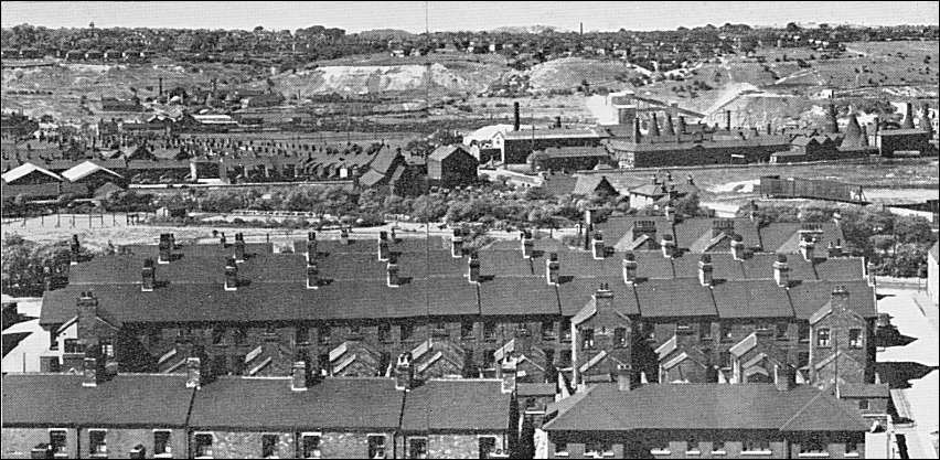
View of Etruria
taken 1949 by E.J.D. Warrillow
This photograph taken from the
end of the slowly disappearing "Slippery Pit", a Tinkersclough tip.
The houses in the foreground were built approximately on the site of the second
Infirmary.
In the centre of the photo is the
Etruria Church, St. Matthews, the church schools and the vicarage.
to the middle right are the Wedgwood Works and beyond all these the remains of
the "Etruria Woods"
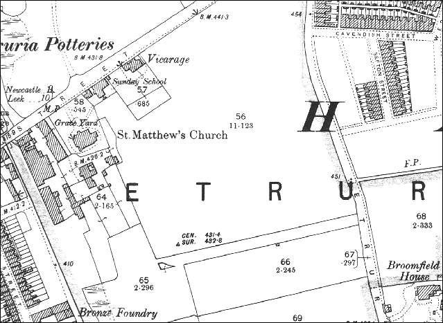
1898 Ordnance Survey map showing St. Matthew's
Church,
Sunday School and Vicarage
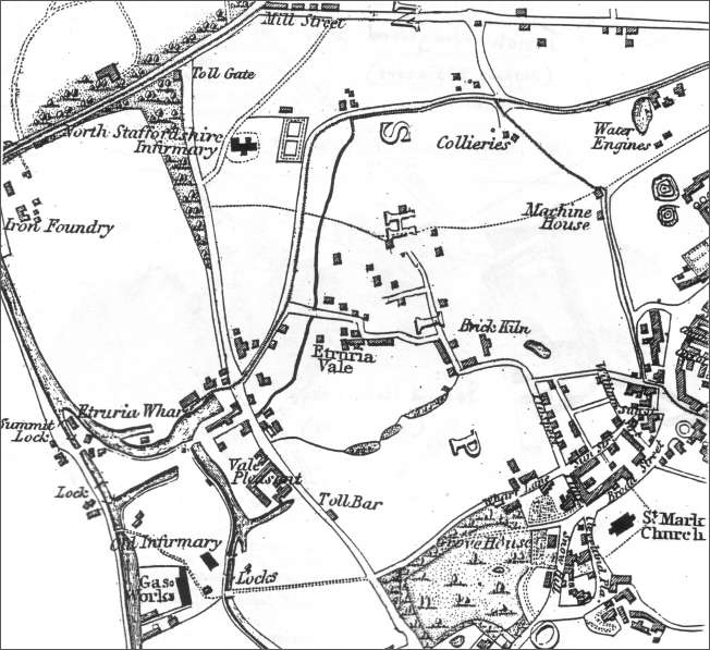
1832 map showing the location of the
"Old Infirmary" and the "North Staffordshire Infirmary"
St. Matthew's church was yet to be built on Mill Street
![]()
back to main page on St.
Matthew's Church
questions/comments/contributions? email: Steve Birks