|
Photos in
and around the Bentilee area
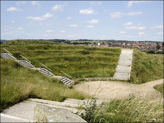
Amphitheatre at Berry Hill
Modern amphitheatre in area that used to be old mine
workings now returned to grassland for the local community - in the
background is Bentilee Estate
photo: Subarite -
July 2004
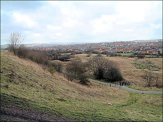
Bentilee
Bentilee and Ubberly housing estates - seen from
Mossfield
photo: Steve Birks -
Jan 2006
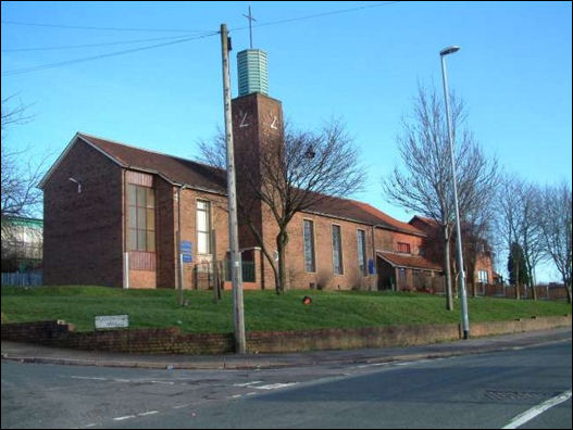
St. Stephens Church, Bentilee
Bentilee is situated approximately 2 miles east of
Stoke-upon-Trent city centre.
The church is in Dawlish Drive just off the A5272 (B5040)
photo: Steve Birks -
Feb 2007
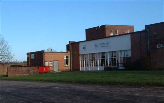
Willfield Conference Centre
Was part of Willfield School - Lauder Place North, Off
Beverley Drive Bentilee.
Now houses: Willfield Neighbourhood College; Willfield Conference
Centre; Willfield Youth Club; Bentilee Volunteers Office.
photo: Steve Birks -
Feb 2007
Will
Field appears on the 1840 map at the top of Ubberley next to Dividy
Lane Colliery.
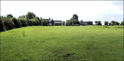
Widow Fields Farm
View south of Ash Bank over rich pasture.
photo: Jonathan
Billinger - Aug 2007
Widow
Fields appears on maps as early as 1775 - it is an area at the top
of Ubberley, near to Hulme and Ford Hayes.

|