|
The turnpike road
to Church Lawton:
As Packhorse lane was
the original route out of Burslem through Longport to Newcastle - an
alternative route was turnpiked in 1763 it runs from Fountain Square
(end of Market Place) in Burslem town centre down to the junction of
Davenport Street and Brownhills Road. Originally Hill Street - it
became Liverpool Road because in the early early 1800's this road
was indeed the road, through Tunstall and onto the North and
Liverpool - where pottery ware was transported to America.
In the early 1950's
Liverpool Road was renamed Westport Road.
 Information on
Westport Road
Development of
Westport Road - in 2007/8 the area between the ancient roads of
Hill Street (now Westport Road) and Greenhead Street
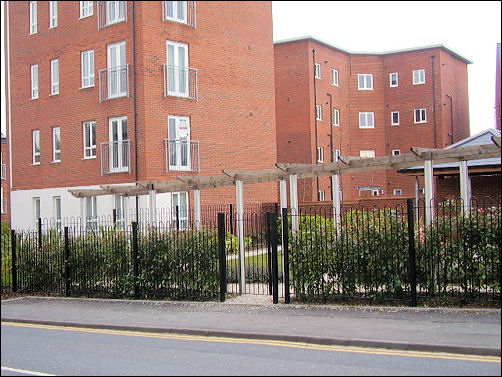
Flats built on the
location of the Hill Top Pottery
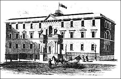
Known variously as:
Old Hill Pottery, The Hill Top Pottery or Hill Pottery
Rebuilt for Samuel
Alcock in 1839 and described at the
time as 'the most striking and ornamental object of its kind
within the precincts of the borough'
(from Ward 1843)
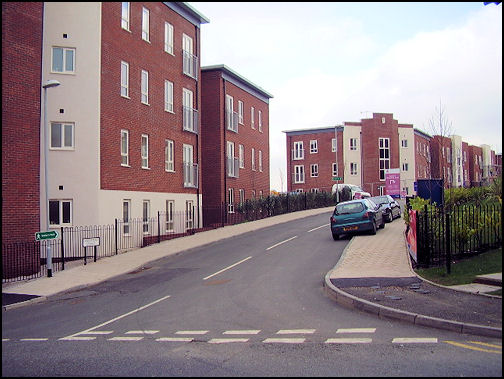
Flats built on
Greenhead
Street
Previously the High Street
and the location of the Ragged School
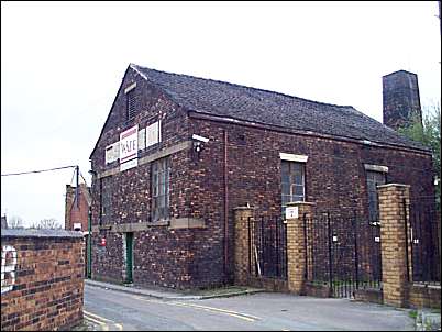
Just off High Street (Greenhead Street),
the Ragged School was for destitute children
photo: 2000 - just before demolition
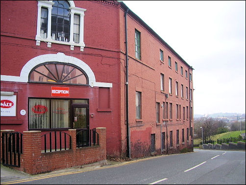
Wade's Hill
works - built in 1814
On Westport Road (originally Hill Street) - opposite
Greenhead Street
at the top of the bank - originally called "The Sytch"
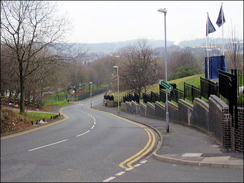
View down Westport Road - The Sytch
 more on "The Sytch"

|
![]()
![]()
![]()