| Districts | Streets | Maps |
next: the chapel and lodges previous: introduction to the cemetery
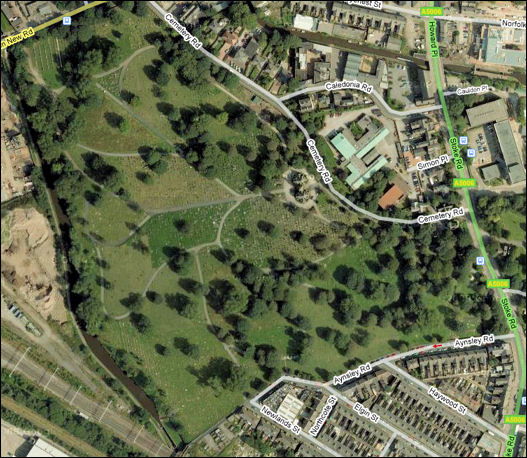
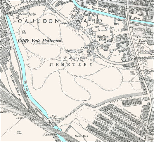
Hanley Cemetery, Cemetery Road, Shelton
Hanley Cemetery - Google maps 2008
Hanley Cemetery - 1898 OS map The chapel can be seen to be split into two halves - one for non-conformists and one for Church of England.
the Caldon canal runs across the top of the map and the Trent & Mersey along the left side.