|
|
|
Fenton Park |
|
|
|
|
|
Fenton Park |
|
|
![]()
![]()
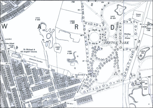
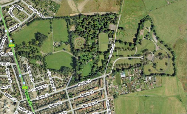
Maps of Fenton Park
This 1922 map show the original park as it was
being developed (it didn't officially open until 1924) - the park was 17 acres
and was built to the left of Fenton cemetery which was opened nearly 40 years
earlier in 1887.
This 2008 map show the 1957 extension of the park down to Victoria Road - the cemetery can be clearly seen to the right of the picture.
|
next: rock gardens & views to Hanley
previous: introduction to Fenton park