![]()
|
|
|
|
|
Stoke-on-Trent - photo of the week
|
Advert of the Week
Potworks of the Week
Public Well, Washerwall Lane, Werrington
|
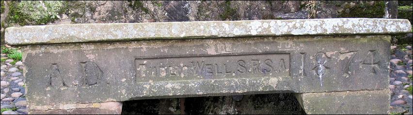
A.D.
Public Well S.R.S.A. 1874
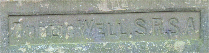
Public Well S.R.S.A.
There
are other wells in the area with similar markings,
for example near Thorney
Edge Road, Bagnall with the markings....
S.R.S.A. Public Well 1879
|
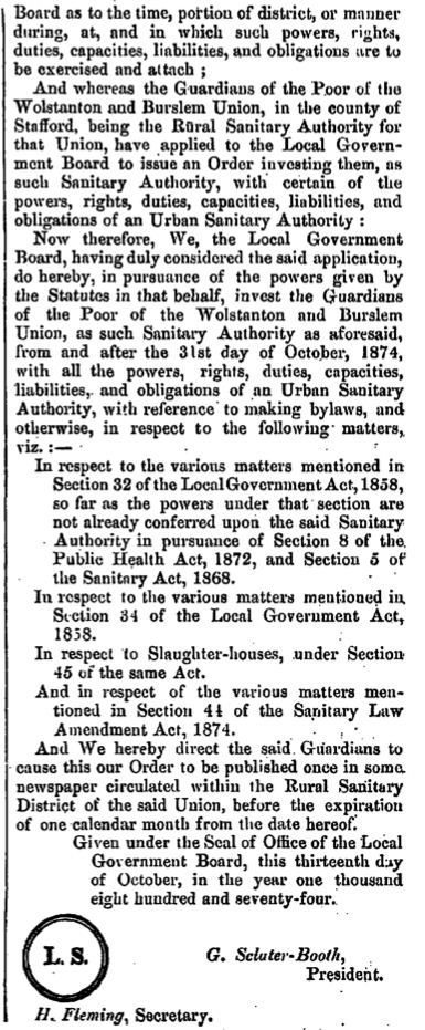
S.R.S.A. stands for 'Staffordshire Rural Sanitary Authority' Sanitary districts were formed under the terms of the Public Health Acts 1872, 1873 and 1875. Instead of creating new divisions, existing authorities were given additional responsibilities.
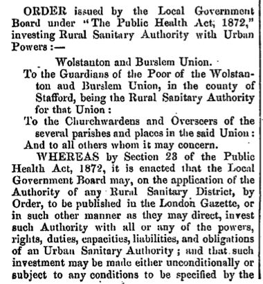
order
regulating the Rural Sanitary Authority of
|
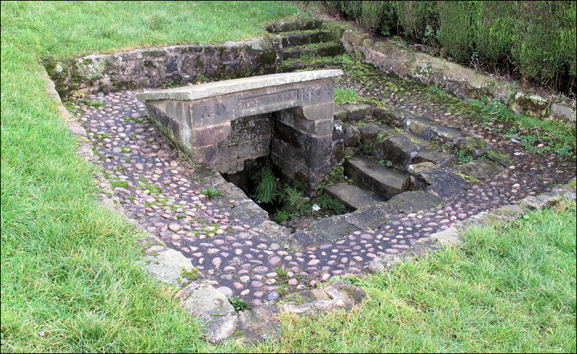
Washer-Wall spring - in use
before 1820
the well was improved and the brick
work added in 1874
![]()
|
"Previous to the establishment of Mr. Smith's Water-Works, the WOOD-WALL-WELL,* at the lower end of the modern street called Well-Street. [Hanley] was the common fountain, at which the women filled their pitchers, and the higglers their casks, for supplying the wants of the town ; and this spring, now furnished with a pump, is still a valuable resource, though its copiousness has been impaired by recent robberies committed on its hidden streams.
John Ward 1843 - 'The Borough of Stoke-upon-Trent'
"The towns of the Potteries, in particular Burslem, Hanley and Longton, were perhaps better off in some degree for their water supply than, say, towns in the flat Cheshire area. Owing to the heavily smoke-laden sky, the rain water when it strikes the earth of the Potteries is rather heavily contaminated by carbon and sulphurous matter.....
...... Water was also brought from Washer-Wall-Well, or Washer Well. This copious spring was situated on the hill side, above Ash Hall, and the water was of exceptional quality. The name 'Wall' was often applied to many wells in past days and meant well, spring, or source of water." E.J.D. Warrillow 'A Sociological History of the City of Stoke-on-Trent' |
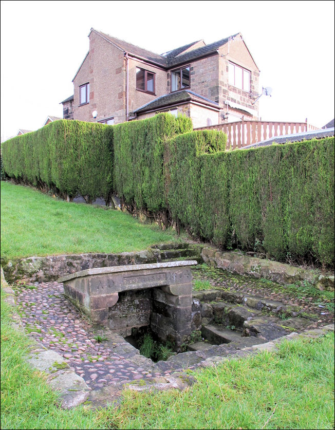
Washer-Wall spring and Washwell
Cottage
The
well is in a small open space, next to Washwell Cottage, on the west side of
Washerwall Lane, opposite the junction with Moss Park Avenue.
It was uncoved and cleaned c.2001
a well-dressing has been held since c.2008
![]()
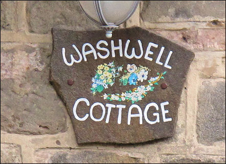
Washwell Cottage
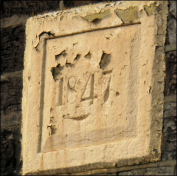
Date stone on Washwell
Cottage
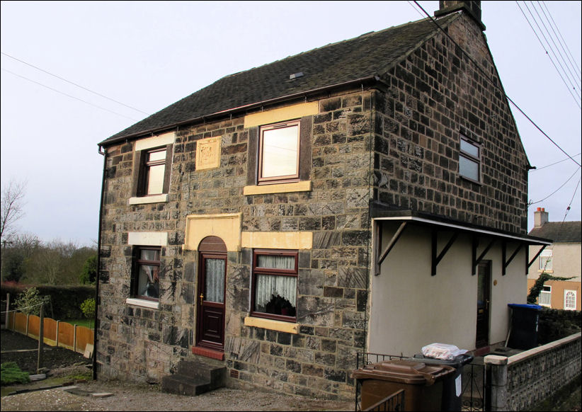
Washwell Cottage on Washerwall
Lane, Werrington
![]()
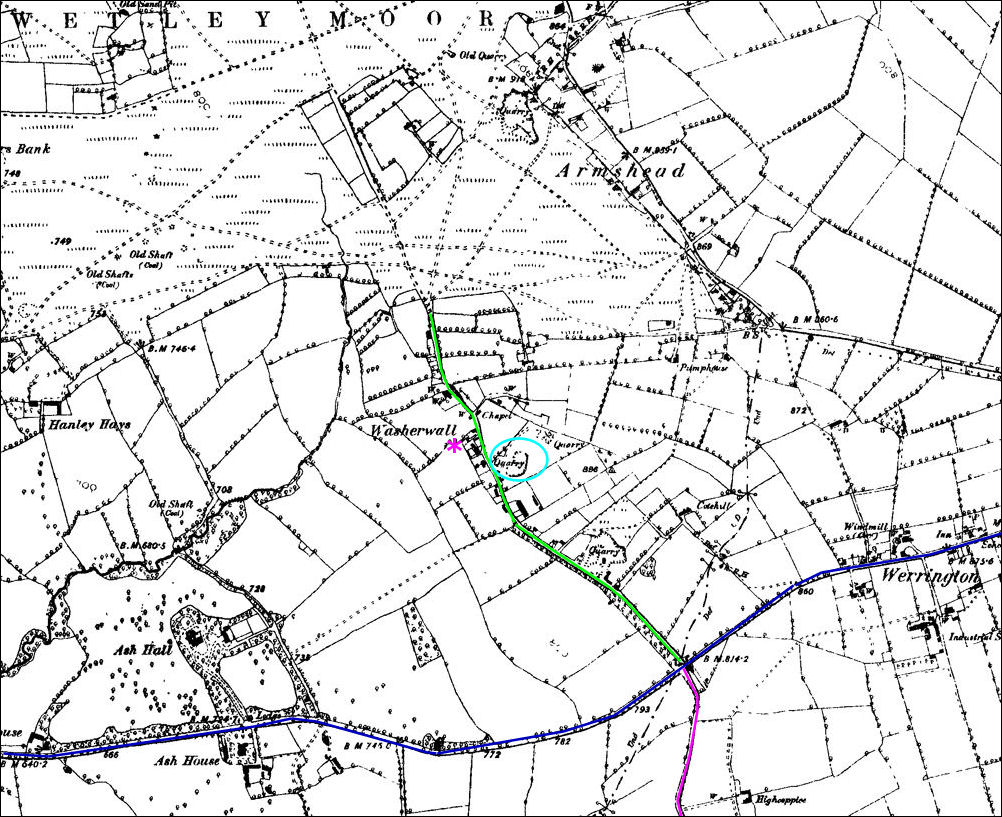
1890 map of Ash Hall,
Washerwall, Werrington and Armshead
Ash
Bank Road from Bucknall to Cellarhead opened c.1777 is shown in dark blue.
Salters Lane shown in purple and Washerwall Lane in green.
The
location of the well is shown by the purple asterisk
marked by the light blue oval is the nearby quarry after which Quarry Close was
named
Bottom left is Ash Hall, top of the map is Wetley Moor
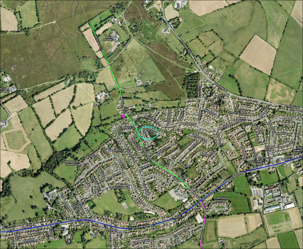
2009 Google map of the same
area
- although much of the area is built up many of the fields and footpaths are
the same as the 1890 map -
Ash Bank Road is shown in dark blue. Salters Lane shown in purple and Washerwall Lane in green.
The
location of the well is shown by the purple asterisk
marked by the light blue oval is the nearby quarry after which Quarry Close was
named
Bottom left is Ash Hall, top of the map is Wetley Moor
![]()
![]()
![]()
![]()
contents: 2011 photos
|
related pages Werrington starts to make sense: Armshead, Salters, Washerwall A 'walk' around the Ash Hall Estate external links.. Werrington Community Information site also see.. Advert of the Week |