Normacot Road, Longton
The
junction between Normacot Road and Lower Spring Road
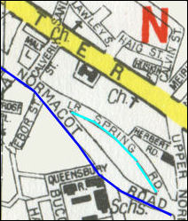
1955 map showing the junction between
Normacot Road and Lower Spring Road - the A50 removed Ebor Street
(formerly York Street) and cut Normacot Road and Lower Spring Road in two.
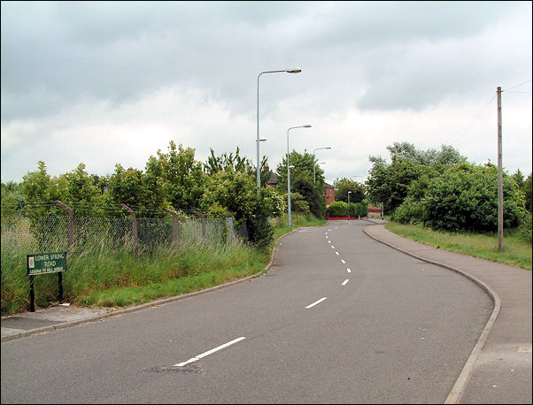
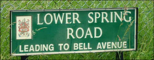
Lower Spring Road
2008
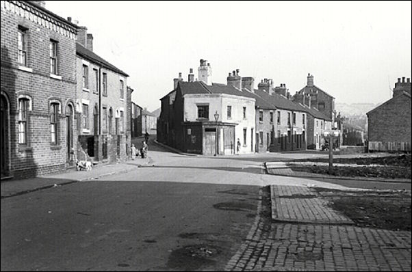
Spring Road and Normacot Road. Ebor Street on right 1960s
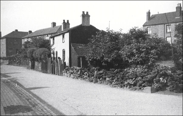
Lower Spring Road
c.1960’s
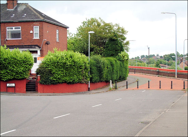
top of Lower Spring Road and the wall
alongside the A50 can be seen to the right of the
photo.
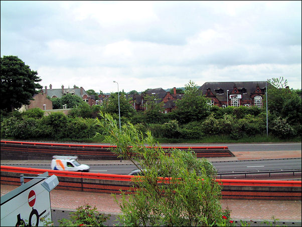
looking over the wall and across the A50
to the middle left is
the Normacot pub and to the right Queensberry School - these buildings
are either side of Normacot Road as it continues on the other side of
the A50
 
previous:
Tam
O'Shanter Inn
|