Streets of Stoke-on-Trent | Hamil Road |
Hamil Road, Burslem,
Stoke-on-Trent
![]()
Streets of Stoke-on-Trent | Hamil
Road |
![]()
![]()
| Index of all Burslem Streets |
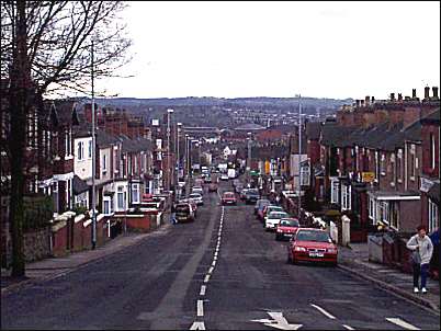
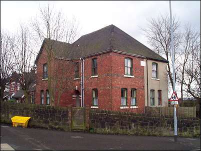
Hamil Road, Burslem, Stoke-on-Trent
|
Hamil Road runs from High Lane and at the bottom joins Moorland Road on the outskirts of Burslem town centre. By time the 1922 OS map was printed this was one of the laid out housing estates in the Hamil / Bank Top area. On the 1890 OS map the only two marked roads were High Lane and Hamil Road - to the left was Jackfield Colliery and to the right Bykers Colliery. Towards the bottom of Hamil Road on the left is Burslem Park and to the right is Port Vale football club stadium which is situated on the site of 'Bycars' Brick and Pipe Works. | see
an aerial photo of this area |
This picture taken from High
Lane
|
photos: Feb. 2001
![]()
![]()
![]()
Did you live in this street or
area?
questions/comments/contributions?
email: Steve Birks