|
|
|
According to an 1851 local gazetteer Blurton was ‘a pleasantly situated village above Trentham including the Lightwood Forest, the hamlets of Cocknage, Cold Ridding, and Spratslade.’ It sounds idyllic doesn’t it, a place where you’d half expect a foxhunt to come crashing over the heath. But industry and resettlement has changed Blurton out of all recognition from when it really was hunting land for the Dukes of Sutherland. These days the boundaries are so confused you wouldn’t even know you’d passed through on the road from Longton to Trentham. To the greenhorn Blurton is simply one huge community housing estate comprising Hollybush, Blurton Farm and Newstead.
I ask retired teacher and blue badge guide Sid Bailey to help me find my bearings.
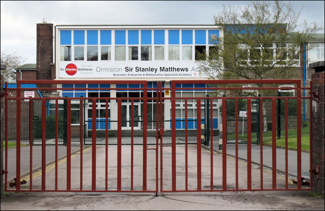
Sid’s connections come via his wife Brenda, a former head of music at Blurton High School which opened in 1956.
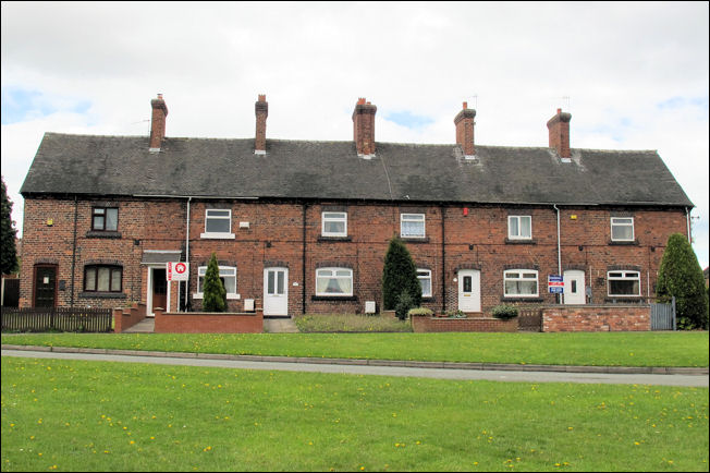
Blurton High School is actually located on 1536 houses Blurton Farm Estate that stands in tandem with the Hollybush Estate, 280 house, and the Newstead Estate with 800.
“I suppose this is what you would call rapid growth,” suggests Sid. “It fitted in with the post war slum clearance where we saw Stoke-on-Trent council using former industrial land in order to take the massively overcrowded town centres into the suburban countryside.”
Sid and I introduce ourselves to the staff and users of Blurton Farm Residents’ Association in a converted council bungalow in Ingleby Road. Sid was interested in the population of Blurton.
But how did it grow so fast.
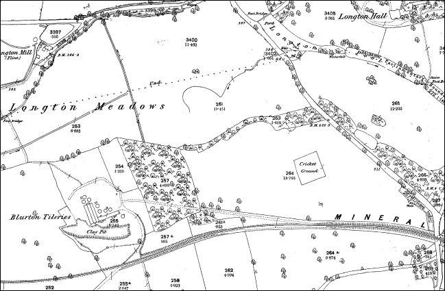
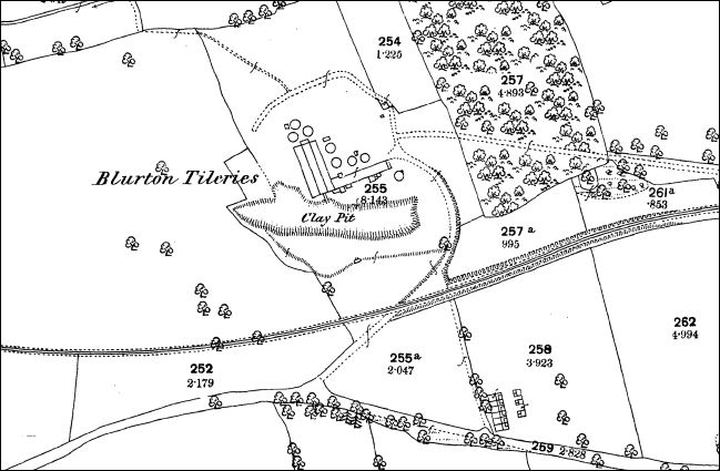
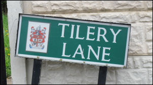
Blurton Farm Estate was built on the saddle of a hill lying between Longton and Trentham. It’s even more difficult to place these days in view of the diversions created by the restructured A50. “It was originally the Blurton Waste Farm,” recalls community organiser Christine Pratt. “Before the estates arrived farmland ran all over this location. Originally you could see features such as the bone mill, the millpond, the tilery, the priory and of course the church.”
Sid wants to see the church but Reg first offers to take us to some old cottages where the tilery once stood. And oh how things have indeed changed!
“But why was it known as waste land,” queries Sid?
“Because it was just that – waste meaning human sewage,” responds Kathleen. “It was a sewerage works that serviced the whole of the south of Stoke-on-Trent until it became inefficient in 1946 when it was moved away. The cottages were smallholdings that were situated on the edge of the farm. My grandfather was head-cowman at the big farm, and the corporation who leased the land out owned that. The farm was the main supplier to the City General Hospital with all its daily milk.”
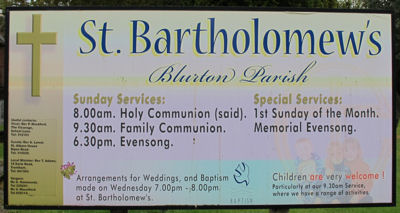
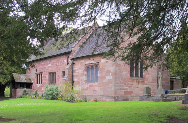
The tranquil church of St Bartholomew stands on the Trentham Road, sheltered by century-old trees and its fascinating graveyard edging directly on to the main road. Church records here go back to 1754, but the Trentham registers that include Blurton chapelry cover the period 1558 to1812. The old priory once stood next to it.
Interesting the grave of Henry Heathcote who was once the master of the long-demolished Longton Hall testifies to the movement of land-power from the Dukes of Sutherlands before Longton Corporation adopted Blurton at the end of the 19th century and developed its giant sewerage plant into the landscape making a great deal of profit from its neighbouring towns.
“The beauty of visiting a place like Blurton and meeting people who live here gets you down to the real business of uncovering local history,” declares Sid. He wants to know more about the past, but there are more contemporary things that our companion wants us to see.
Right on the border of Blurton running alongside Barlaston Road is the famed cancer specialist care unit, itself a former farm until the hospice was established here in 1973, overlooking rolling pastures that flow and skirt Newstead Wood all the way to Wedgwood Hall at Barlaston.
“Of course it’s nothing to look at,” declares Reg. “But it is really impressive simply because of the great work it does.”
And that’s what really sums Blurton up. Blurton is definitely nothing to look at, but it is home to a large percentage of the population of Stoke-on-Trent, hemmed-in by the new industrial sheds of commercial Trentham Lakes, itself a former home to one of Europe’s largest coalmines, where the Sutherlands once hunted and rode to hounds in feudal England.
Fred Hughes [Written in 2006] |
![]()
![]()
previous: Moddershall to me looks utterley timeless