![]()
|
|
|
|
|
Stoke-on-Trent - photo of the week
|
Advert of the Week
Potworks of the Week
Holden Viaduct, Hanley Road, Stoke-on-Trent
|
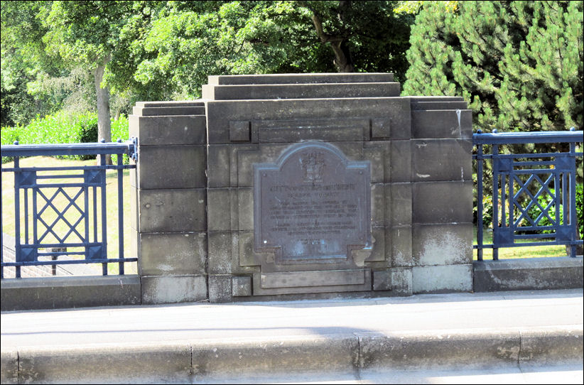
plaque set in the art deco style balustrade
on the Holden Viaduct - opened in
1930
photos: August 2011
|
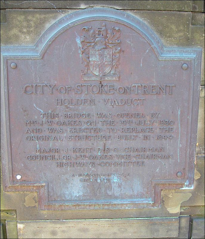
City of Stoke-on-Trent HOLDEN VIADUCT This bridge was opened
by Major J. Kent DSO
Chairman A. Burton M Institute CE
|
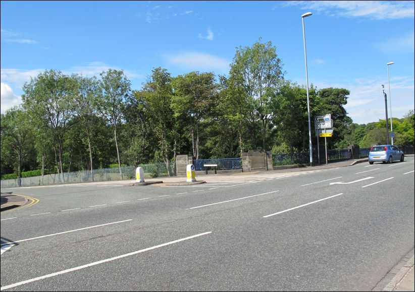
view of Holden
Viaduct from Hanley Road - in the background is Burslem Cemetery
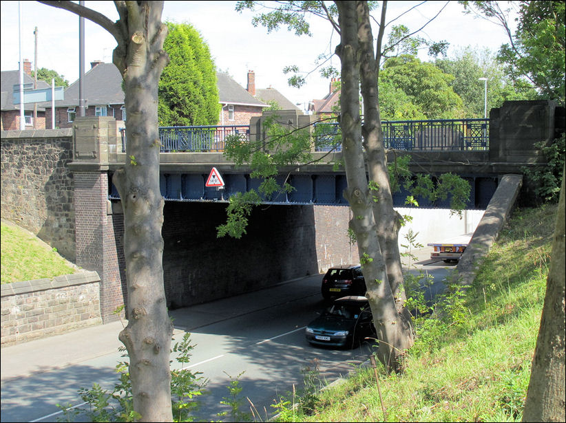
Leek New Road as it goes under the Holden
Bridge
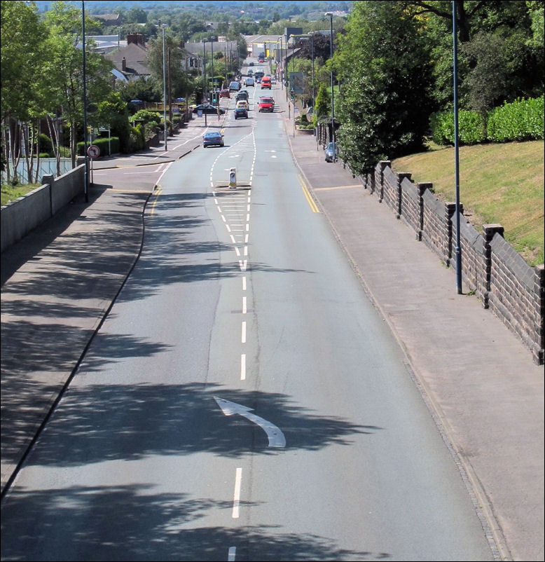
view down Leek New Road towards
Cobridge
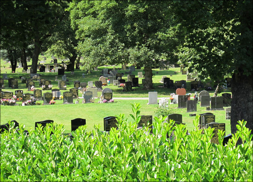
Burslem Cemetery - opened in 1879
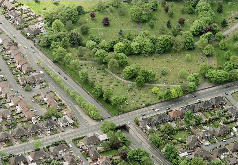
a view of the Bridge on Hanley Road, crossing
Leek New Road - Burslem Cemetery
in the top right corner
Bing Maps - 2011

the area around Leek New Road and Hanley Road
Sneyd Hill Park was once the spoli tip of the Sneyd Colliery
Bing Maps - 2011
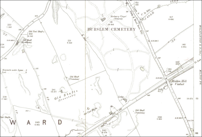
1898 map of the area
on this map the bridge is called 'Holden Hill' viaduct
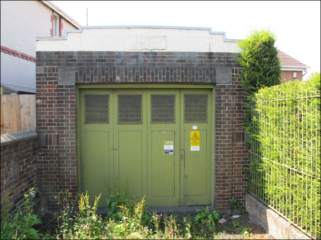
Holden Bridge electricity sub-station - built
in 1934
built in a vague art deco style
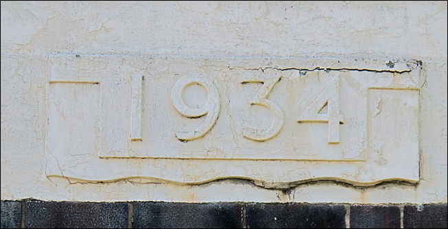
1934 date stone
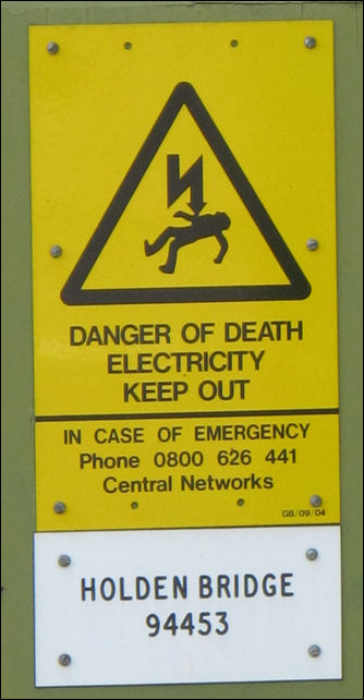
Holden Bridge marker
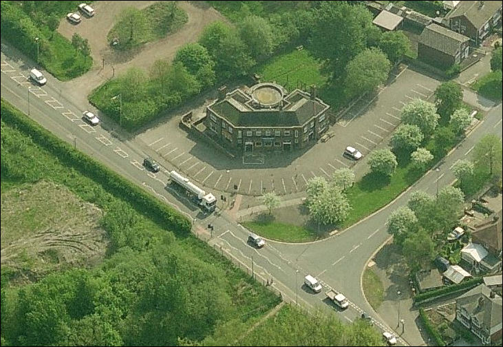
Holden Bridge public house on the corner of
Leek New Road and Berwick Road
Bing maps
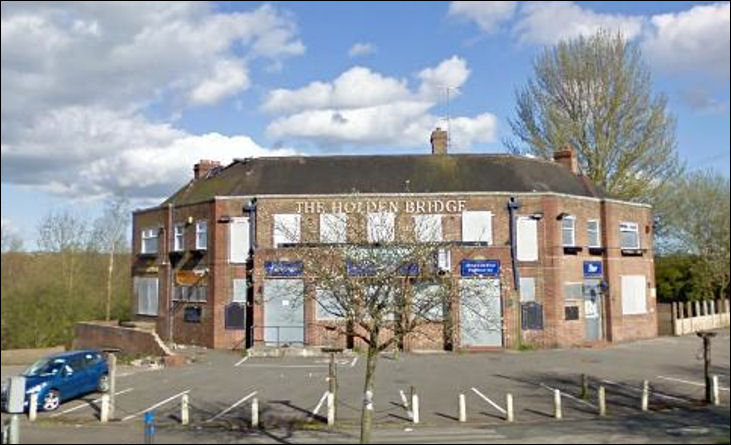
The Holden Bridge - boarded up after it
closed in 2007
photo: 'Curmudgeon'
![]()
|
|
|
related pages A walk around Burslem Cemetery - Burslem Cemetery opened in 1879 and covers approximately 11.4 hectares (about 28 acres) when it was opened it was intended to be a "a recreation park, to be used for walking, riding and driving" as well as a cemetery and at least a third of the land was taken up with the lodges, chapel, walks & drives. also see.. Advert of the Week |
