| Old
Town Road, Hanley
Town Road (previously the High
Street) starts at Providence Square and marks the junction of "Upper
Green", Sneyd Green, Birches Head and Northwood.
In the early 18th
century Hanley was still 'a humble collection of dwellings' which lay
chiefly around Upper Green (at the junction of Keelings Lane and the
present Town Road), and Lower Green (the later Market Square). The
whole formed 'two small villages, half a mile apart'.
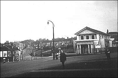
Providence Methodist
Church
1959 photograph.
Town road runs from behind the photographer to the right of the
picture on to
Keelings Road.
Hulton Street is to the left. On the left hand distance can be
seen Birches Head Road.
The
church was demolished in 1963 and replaced by a garage and subsequent
various retail shops.
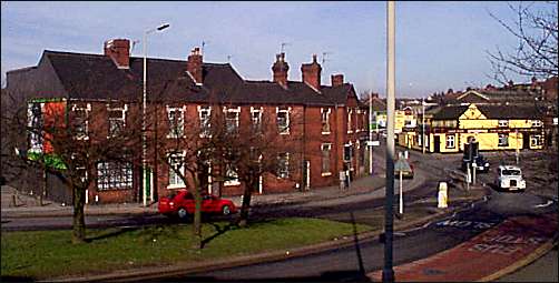
Hulton Street - looking towards Far
Green

Hulton Street - looking towards Town
Road and Hanley
White building on the right was the "Out
of Town" pub.
On the left is "Motor Word" - accessories shop.
photo: 2000
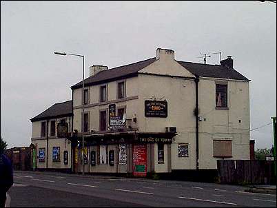
Out of Town pub - Hanley
(Near Green)
Town Road, edges onto
Central Forest Park
photo taken Aug 2000
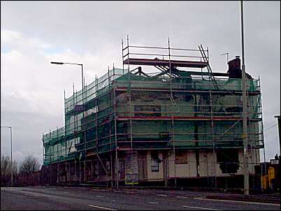
Demolition of the Out of Town pub
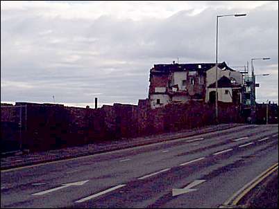
The pub site is now replaced with
Immigration and Industrial Tribunal offices
(see the Google map at the top of the page)
|