|
Location 19 on the index map
Navigation Road, Burslem Wharf to St. John's Square
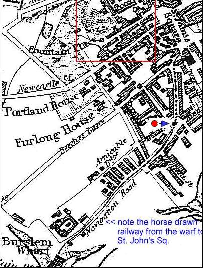
Navigation Road ran from the wharf buildings at the end of the Burslem Canal (a short branch canal of the Trent and Mersey canal) up a steep hill to St. Johns Square in the town centre of Burslem.
A horse drawn tramway was then used to haul material from the canal to the
potworks in Burslem. |

1832 map showing the railway running along
Navigation road from the canal wharf to St. John
Square. Enoch Woods factory is shown in red, the
photos here are taken from where the arrow is.

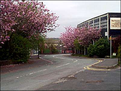
Looking down Navigation road towards the Wharf

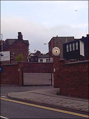
Looking towards St. John Square where Navigation
road
used to run to. Nowadays a ring road crosses the old
Navigation road and the factory of Johnson Matthey
is seen in the foreground.
links to related
information:
- Burslem
Branch Canal -
|
![]()
![]() (1714-1837)
(1714-1837)![]()
![]()
![]()
![]()
![]()