Longport: The 'Kingdom' of
Davenport![]()
![]() (1760's - mid 19th C))
(1760's - mid 19th C))
The changing level of the Fowlea Valley
Location 19 on
the index map
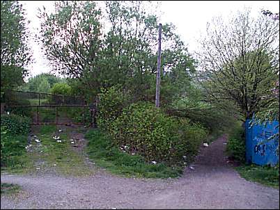
We have now crossed over the canal using the footbridge at the end of Pidduck Street, directly opposite is a field on the left and footpath on the right.
This is the Fowlea Valley - it can be seen that the footpath goes down in level (as you would expect in a valley) but the level rises in the field - this has happen in large areas of the valley - building and tipping has raised the level of the valley floor.

next is the canal side cranes at the Middleport Pottery
questions/comments/contributions? email: Steve Birks